The Cal/Can Trip Reviewed
Travelmap and Wayward are very cool apps. But I never figured out how to get them to talk to each other.
For example, the second day we were in Vancouver, we took a car tour. The driver, Brant, drove us all over Vancouver and, with over twenty years of tour guide experience, he had a lot to share and teach. I tried to take photos and then tap in the information, its historical context and my thoughts on each photo. The result? The pictures and comments—which were more poem than tome because I can’t type very fast on my phone—didn’t transfer to Travelmap. (Check out the photo gallery here.)
And here I will note another challenge: I don’t feel comfortable putting up any personal photos. Carl and I met young great-nieces and nephews—and first cousins-once-removed—for the first time. We saw a friend I haven’t seen in decades—Hi, Pete!—and we attended a wedding and got to see family members we usually only see once a year. But this is a public-ish forum and I’m not showing photos of young children without parental permission, nor the adults because some of the photos are, shall we say, unphotogenic.
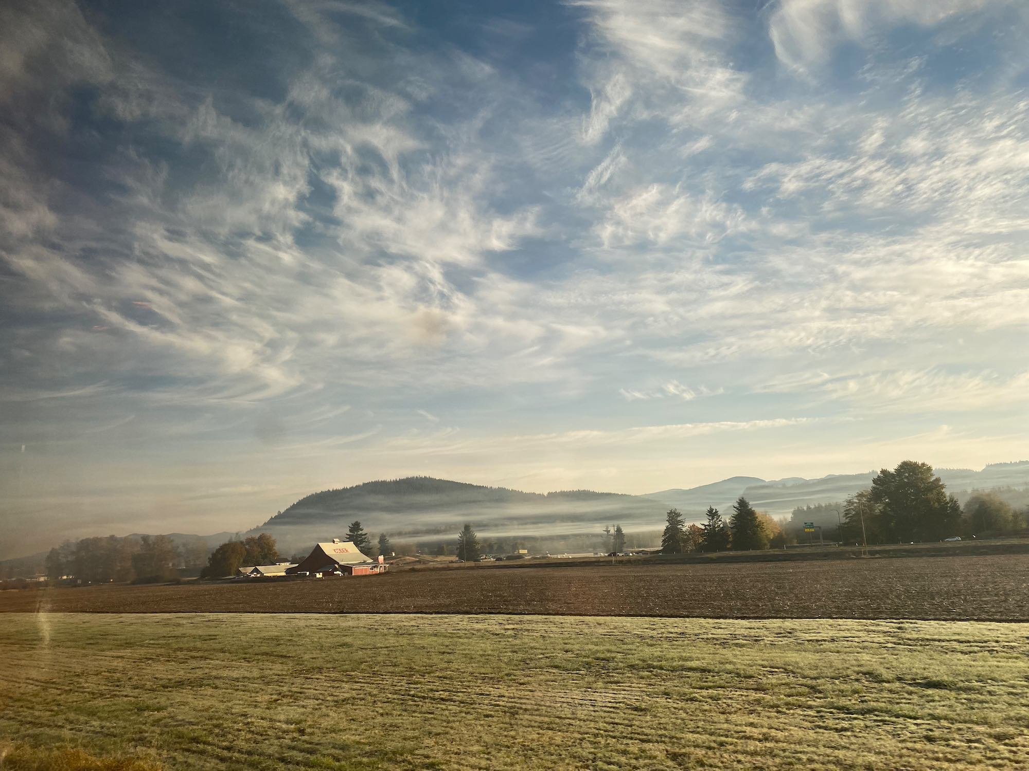
So I only uploaded landscapes. The transitions from fields to forests, corn to almond trees, cows in CAFOS to gophers poking up out of the ground, the plains to the mountains. Towns rising up and disappearing, making way to cities. Big, big lakes holding out against more mountains. I had so very many thoughts and reactions to it, this…this spectacular, heartbreaking, hope-filled, devastated, ever-renewing and growing Earth.
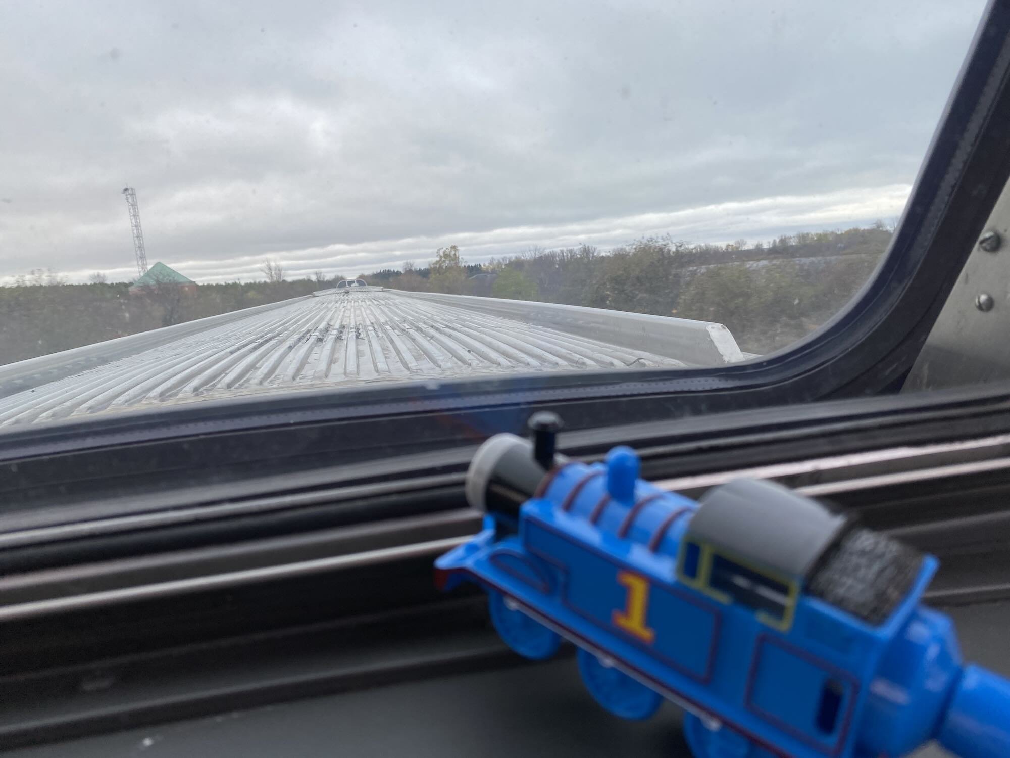
This is one reason we like to travel by train. It might have added eight—okay, realistically? eleven—days to our trip, getting from point A to all those other points. But I’d totally do it again. And probably will, given all those nieces, nephews, cousins, and friends.
2023 Cal/Can Photo Gallery
This was a bucket list trip — we went by train. Or that was our intention…

